Trip Report: Mission Mountain Bike Trails
Trip Report: Mission Trails in Mission, Texas
So here it is, the first mountain bike trip report. It has been at least 6 months since I've ridden my mountain bike and it felt good. I didn't take BeeGee on the first run, but when it cools off I definitely will. Hopefully she will stay away from all the sharp plants.
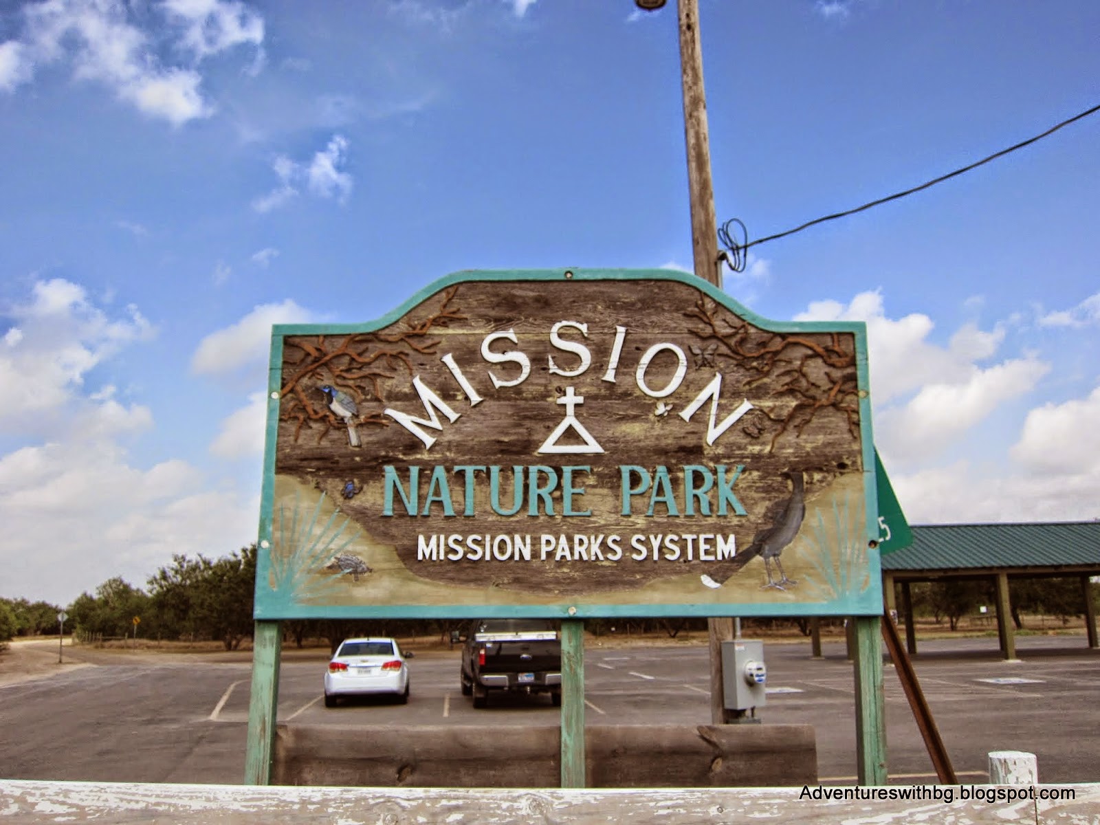 |
| Mission Trails Entrance Sign |
The Background
Location: 26.192494, -98.330125, Mission, Tx
Admission: Free
Elevation: 100 to 115 ft.
Weather: Sunny, windy, hot, 90F
Difficulty: Easy to intermediate
Website: http://trailsinmission.com (unofficial)
The Mission Trails center around the Mission Hike and Bike Trails, which is a paved trail maintained by the city of Mission, Texas. The singletracks were, as far as I can tell, maintained by the Trails in Missions Club (see the link above). However, the website looks like it isn't being operated anymore and I am not sure if the trails are being actively maintained. Furthermore, the parking lot is a little hard to find and doesn't have an address.
Mission Trails has 6 named trails, at least from what I could find. However, the Mission Trails has multiple unnamed trails and is more like a choose your own adventure. In addition, there are trail markings on most trails (little square arrow signs), but not on all trails. Total trail mileage is hard to calculate, but probably around 12 miles. The entire ride is dusty with cactus and mesquite trees everywhere, so bring an extra tube or 2. Moreover, there is no potable water here, so bring plenty because it can be hot.
Once I got into the parking lot, the first trail I found was Levy Run. It is a short easy track made for speed. In addition, the trail follows a levee. I initially took this trail slower than I normally would have because the prickly pear cactus growing along the trail is very intimidating. Furthermore, the Mission Police were riding Levy Run and I stopped to have a chat. It made me feel a little safer about riding and leaving my car knowing the police patrol the area.
The Mission Trails center around the Mission Hike and Bike Trails, which is a paved trail maintained by the city of Mission, Texas. The singletracks were, as far as I can tell, maintained by the Trails in Missions Club (see the link above). However, the website looks like it isn't being operated anymore and I am not sure if the trails are being actively maintained. Furthermore, the parking lot is a little hard to find and doesn't have an address.
 |
| A worn down berm on Jackhammer Trail |
Mission Trails has 6 named trails, at least from what I could find. However, the Mission Trails has multiple unnamed trails and is more like a choose your own adventure. In addition, there are trail markings on most trails (little square arrow signs), but not on all trails. Total trail mileage is hard to calculate, but probably around 12 miles. The entire ride is dusty with cactus and mesquite trees everywhere, so bring an extra tube or 2. Moreover, there is no potable water here, so bring plenty because it can be hot.
Levy Run
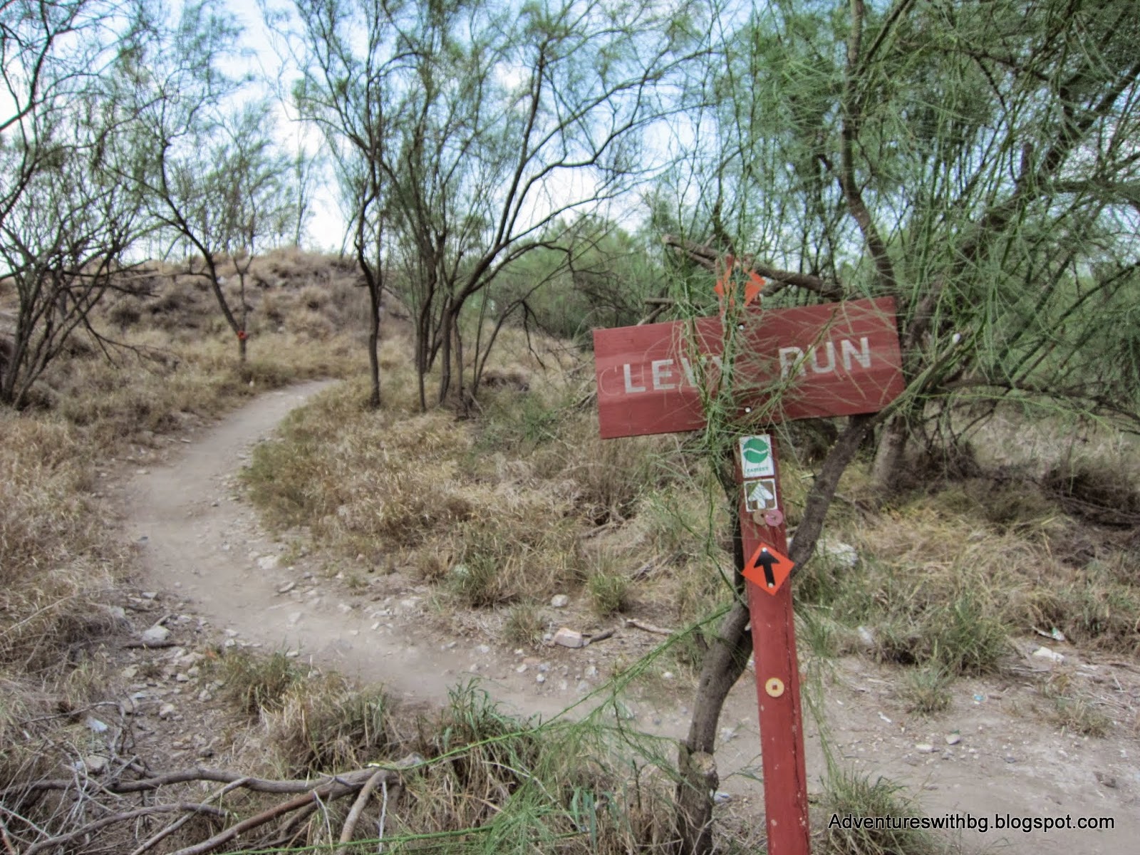 |
| Levy Run Trailhead |
Once I got into the parking lot, the first trail I found was Levy Run. It is a short easy track made for speed. In addition, the trail follows a levee. I initially took this trail slower than I normally would have because the prickly pear cactus growing along the trail is very intimidating. Furthermore, the Mission Police were riding Levy Run and I stopped to have a chat. It made me feel a little safer about riding and leaving my car knowing the police patrol the area.
One thing to be careful about is the prickly pear cactus and mesquite tree. Both plants have sharp needles, so try not to wipe out into anything sharp. In addition, expect this type of vegetation constantly throughout your ride. Furthermore, I would bring extra tubes and tire repair tools. While I didn't have any issues, many people have as they left behind their trash tubes.
 |
| Prickly Pear Cactus on the edge of Levy Run |
Another issue with the environment is that all trees in the area tend to be short. This means when branches grow across they are low and a slight head danger. Be aware!
 |
| Low Branch on Levy Run |
Jackhammer Trail
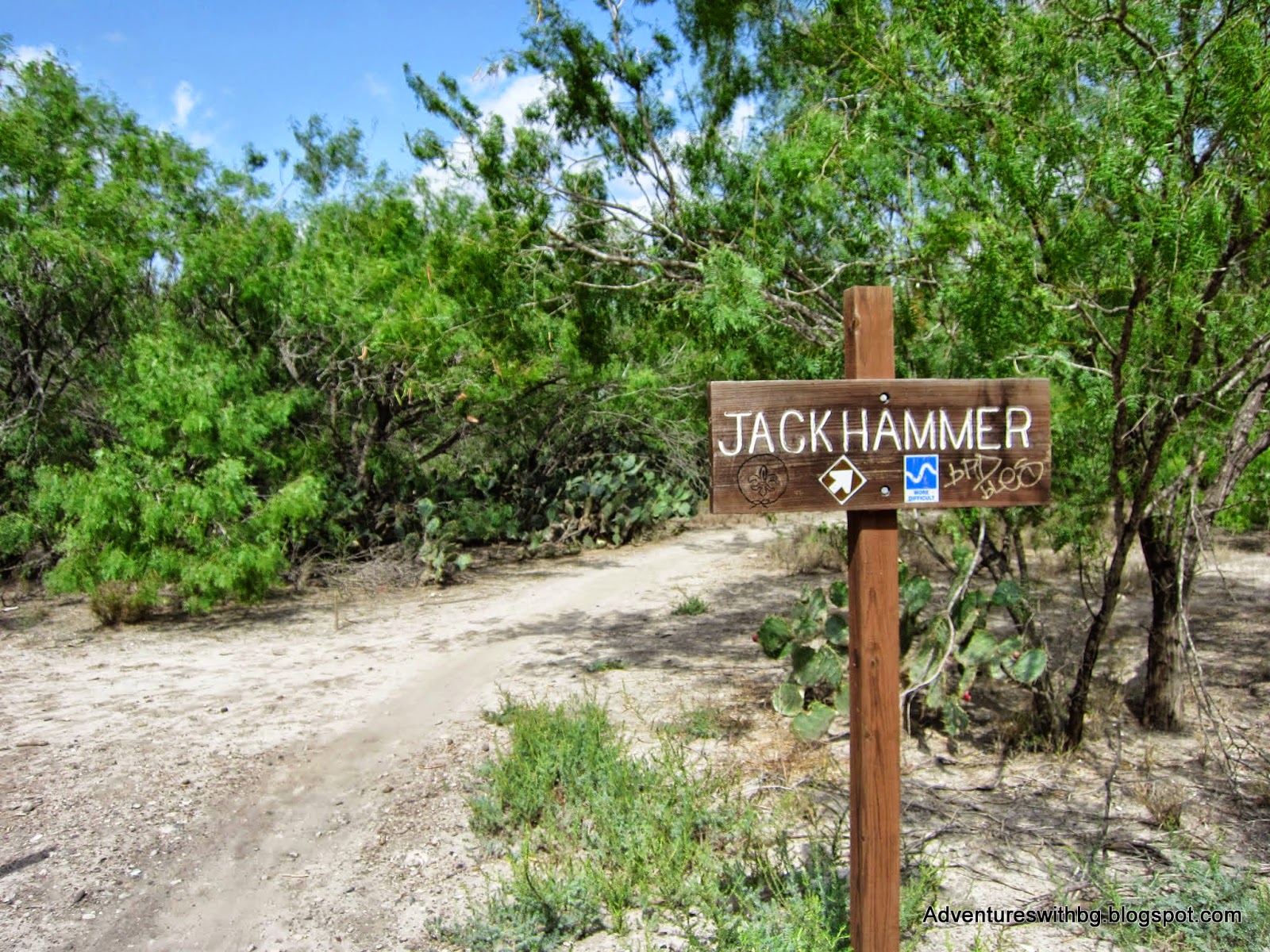 |
| Jackhammer Trailhead |
From what I can tell, Jackhammer trail is the longest trail at the Mission Trails and rated as intermediate. However, it has multiple unmarked sections so an exact distance is hard to calculate. In addition, this trail leads to El Gato Trail, the pump track, and Poo Forest Trail. There were times I felt very lost on this trail because it double backs frequently. Jackhammer trail has multiple features that make it an intermediate track: tight curves, drops, a few jumps, downed trees, and berms. The further into Jackhammer you ride the more difficult it becomes.
Toward the end of Jackhammer, there are two trails that split off, El Gato and Poo Forest. In addition, Jackhammer eventually loops back to the paved bike trail and ends were Champion Trail begins.
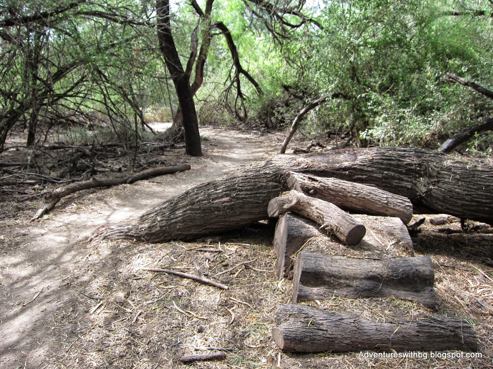 |
| An obstacle on Jackhammer trail |
El Gato
 |
| El Gato Trailhead |
El Gato is an intermediate trail and I am not sure its total length. For the most part El Gato is not that difficult as an intermediate trail. However, it does use levees to create some step climbs and drops and has some tight turns. In addition, there is a pump tracked tucked away in the middle of El Gato and most likely the only way to access it. Finally, El Gato trail will lead you back to Jackhammer and towards the park exit.
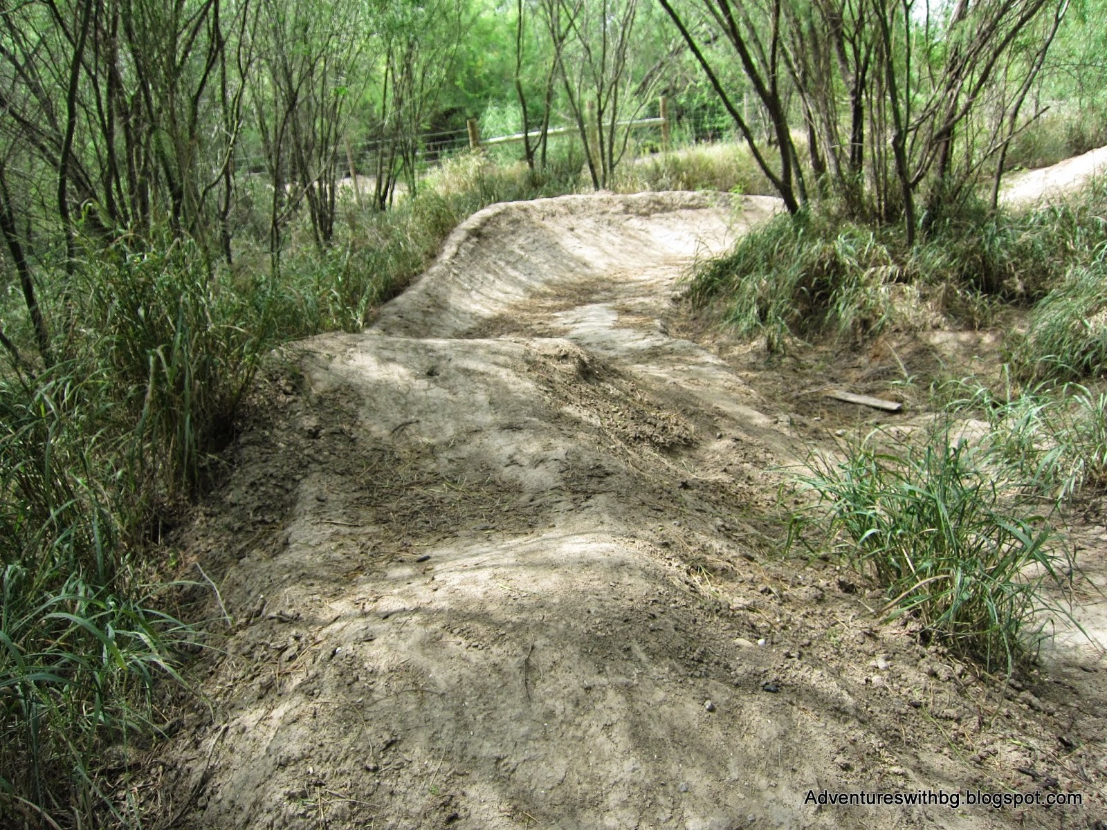 |
| Jumps and a berm at the pump track |
Champion Run
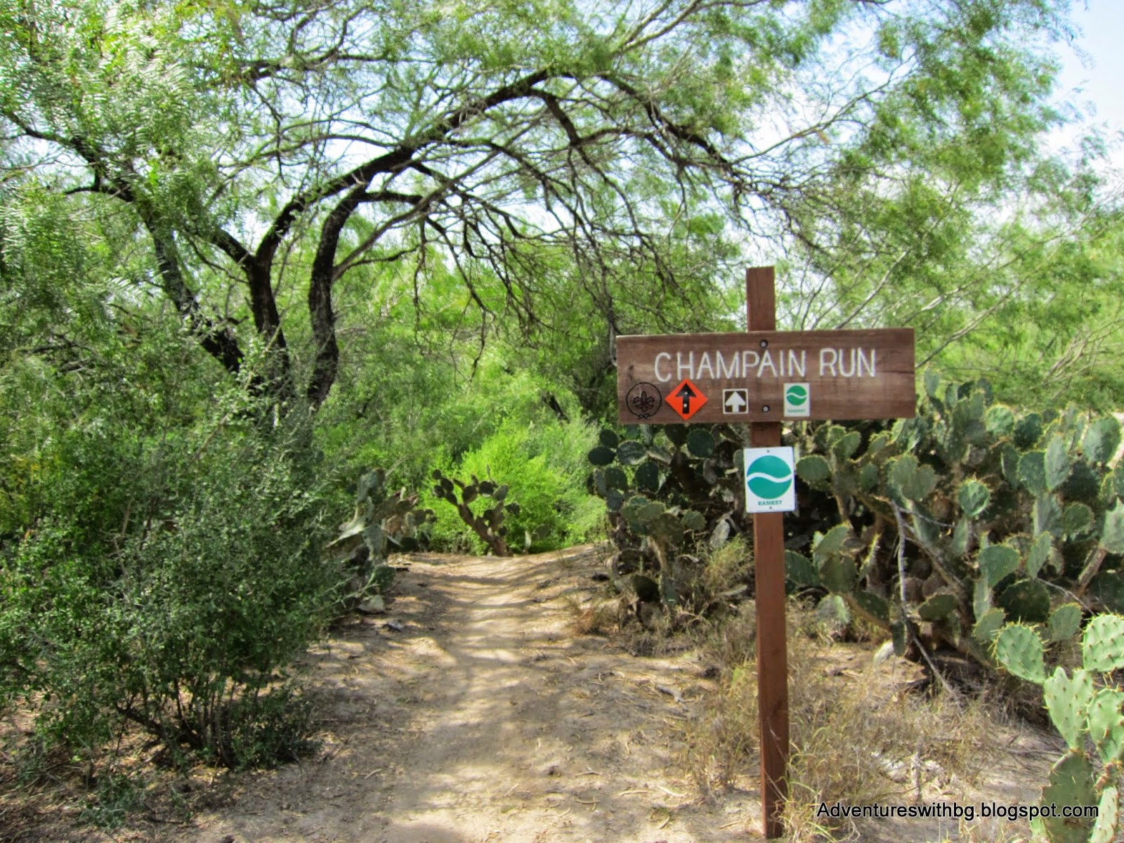 |
| Champion Run Trailhead |
Eventually, Jackhammer Trail leads back to the paved bike path where I reached Champion Run and the "Final Stretch". Champion Run is easy and turns into Final Stretch, which is intermediate. These are the same trail and Final Stretch begins in the middle of Champion run. In addition, Champion Run led me back to the paved path just shy of the parking lot. Champion was designed to be a fast trail and I put in a little extra as I knew my ride was coming to an end.
Final Thoughts
Overall, this is a great trail system and I will be riding it a lot more in the future, not just because it's the only trails close to me. The ride is very dusty so be prepared to clean up your bike when you get home. In addition, take the right equipment with you: water, tubes, and tools. Finally, as I become more familiar with the trails I will publish a full trail guide, which will include a night riding segment.
 |
| Mission Trails Exit Sign |
If you have ever been to the Mission Trails or know of any other trails in the area please let me know.
Jarrett Morgan

Seriously. Poo Forest!! How long were you out there? See any jumping cactus?? Will BeeGee be able to survive the cacti and mesquite? NM
ReplyDeleteI agree, Poo Forest is a weird name. I spent about 2 hours riding and I did see some jumping cactus. Man do I dislike jumping cactus! I'm sure BeeGee will learn quick to stay away from sharp plants.
DeleteDid you see any hikers or just cyclists?
ReplyDeleteI see mostly bikers. While I was out there a few people were walking on the paved path. Plus I have seen a couple of trail runners.
Delete